


On February 18th, several Stevenson Public History majors traveled to Baxter Farm, in southern Frederick County, in order to conduct an initial field survey of that historic property. The pilot property being studied under Stevenson’s “Biography of Place” program, Baxter Farm is one of many historic curatorial properties administered by Maryland’s Department of Natural Resources (DNR). DNR and Stevenson are working to identify the historic significance and, consequently, the interpretation potential of Baxter Farm for public historians.
Located on the southernmost oxbow of the Monocacy River, the property is just a short distance from the mouth of the Monocacy where it feeds into the Potomac.
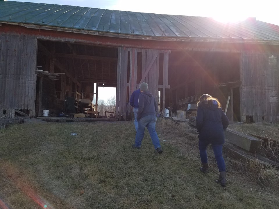
The objective of the trip was to provide the student researchers an opportunity to familiarize themselves with the farm and the surrounding area. Having parked at the entrance gate out near the main road, the research team advanced down the drive studying the farm land to either side, the bank barn, and the corn crib tractor shed.
Corn crib and tractor shed.
Arriving at the historic house and former stables, the research team was pleasantly surprised to see that the new curators, Brenden & Anna Bosmans, who had arrived the night before. Brenden provided our team access to the house interior and led a quick tour of the various structures that make up the house. Then, Brenden led us down to the Monocacy River and the Furnace Ford Bridge. Prior to the bridge being built, Furnace Ford had been used for hundreds of years as a way across the river for travelers on horseback, wagon, or by foot.
Near the lower part of this 1858 map, Furnace Ford is shown to the east of the farm operated by J. Nichols.
A balmy 72 degree day (F), the team also took the opportunity to visit other nearby historic sites: the C&O Canal aqueduct across the mouth of the Monocacy River, Sugarloaf Mountain that had been used as a signal station during the Civil War, and Monocacy Battlefield located about 20 minutes north of Baxter Farm.